Get motivated with these real world examples


Our Process
Plan.
Stage your organization’s GIS or tax data to identify all infrastructure locations and values makingthe mobile damage assessment collection a quicker and more accurate process.

Manage.
Use initial damage reports from your citizens (by phone or by web) to help you identify the area ofconcern and assign infrastructure locations to damage assessment teams.


Product Tiers


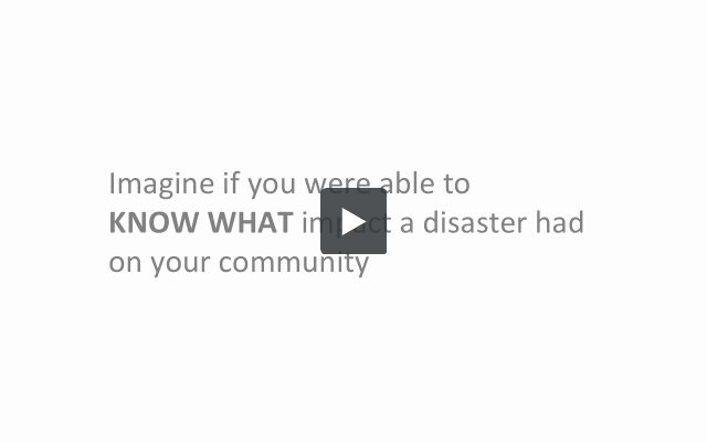
Watch how Crisis Track can work for you.

During a bad winter storm Crisis Track gave us a better visualization to what was happening as events occurred. Even though we had just purchased the system, the Crisis Track staff accommodated us very quickly to get the system operational before the storm hit us.

During a recent flood event, Crisis Track helped us conduct a damage assessment and complete the FEMA paperwork to the State in a day as opposed to weeks of effort.